
Dry Creek Corridor Upgrade (Stage 2)
Consultation has concluded
Council decision/outcomes
Community feedback was presented to Council at a meeting on 26 July where Council noted the report and that a draft Dry Creek Corridor Masterplan is to be prepared and presented to Council in 2023 after Council has received the report on the Wynn Vale Dam Stage 2 Asset Audit.
Staff will develop an overarching Masterplan for the Dry Creek Corridor which will combine Stage 1 and Stage 2 concept plans into one document, as well as include the pending concept plan for the open space upgrades at Wynn Vale Dam. It would also include critical information from the Dry Creek Corridor Biodiversity Plan 2021, plus further biodiversity analysis of the remainder of the Corridor which still needs to be undertaken. A cultural heritage assessment is also being conducted which will inform the Masterplan. This will result in a single document for reference for future planning and prioritisation of works in the Dry Creek Corridor.
We will update this page when the Council meeting to present the draft Masterplan is scheduled, and will provide this advice to those who provided feedback.
Read the community engagement outcomes report
Read the Council report (Council Meeting - Notice, Agenda & Reports - 26 July 2022 - see pages 6-71)
Read the Council meeting minutes - 26 July 2022
What changes would you like to see?
The Dry Creek Corridor in the City of Tea Tree Gully extends for approximately 9kms from the Council boundary at Tasman Avenue, Gilles Plains in the south to Hancock Road, Fairview Park in the north.
In March 2020 Council endorsed a concept plan for the Modbury Precinct section of this corridor, with community feedback informing the development of this plan (stage 1).
We’re now looking to build on this work and update the concept plan to incorporate the sections of the creek either side of the Modbury Precinct section.
We are seeking ideas and suggestions from the community about changes and upgrades they would like to see along these two remaining sections of natural landscape which include the following Council reserves:
- Gilles, Vaucluse and Valley View Reserve in the south
- Kingfisher Reserve, Jubilee Reserve, Wynn Vale Dam, Dotterel Reserve, Greenway Reserve and Palmer Reserve in the north
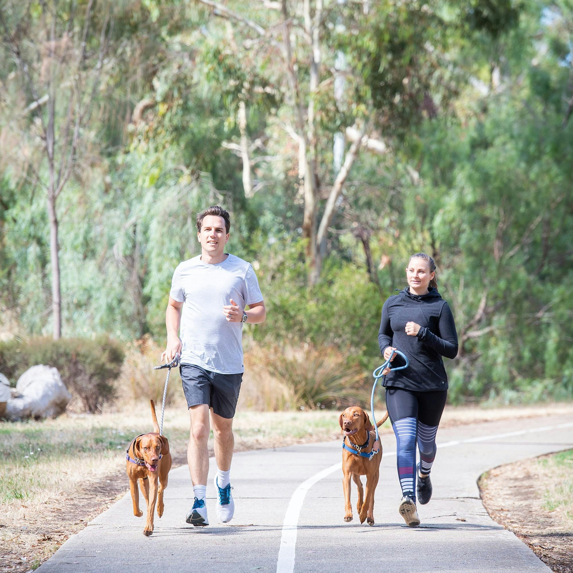
Upgrades will improve connections and access to the corridor, and increase opportunities for informal recreation and community activities, as well as recognise the historical and cultural significance of the Dry Creek Corridor, and improve the natural environment and biodiversity.
Upgrades are about to begin at Lot 50 in Kingfisher Reserve (formerly Willason's Farm), including the installation of a public toilet, landscaping and pathways. This work is part of the Modbury Heights Precinct Plan which Council endorsed in October 2016.
Easy Read information about this project is also available
To get involved and have your say:
- Register here (if you haven't already, otherwise you can sign in when prompted)
- Provide feedback by dropping a pin and comment on the maps below:
- Use the Section 1 map for Gilles, Vaucluse and Valley View Reserves
- Use the Section 2 map for Kingfisher, Jubilee, Dotterel, Greenway & Palmer Reserves, and Wynn Vale Dam
- Share your ideas using the submission form below
- Have a question? Ask us here
Or join us to discuss your feedback in person on Saturday, 27 November (subject to COVID-19 restrictions at the time):
- 10-11.30am at Valley View Reserve playground (Conway Crescent, Valley View)
- 12.30-2pm at Jubilee Reserve playground (Jubilee Way, Wynn Vale)
Community feedback will inform an update to the Dry Creek Corridor concept plan (incorporating these two remaining sections). The updated plan and costings will be provided to Council for its consideration in early 2022 and, once endorsed, will be used for future budget considerations to upgrade the Dry Creek Corridor.
If you need assistance to participate in this consultation, please call Victoria Masterman on 8397 7444 or send us a message
Photos
Documents
-
 Community engagement outcomes report - Dry Creek Corridor Upgrade (Stage 2).pdf (11.3 MB) (pdf)
-
Dry Creek Corridor Upgrade (Stage 2) safety issues raised & actions taken - community feedback.pdf (188 KB) (pdf)
-
Dry Creek Corridor Upgrade Stage 2 Concept Plan - map of entire corridor.pdf (607 KB) (pdf)
-
Easy Read Information for Dry Creek Corridor upgrade.pdf (660 KB) (pdf)